Object Detection
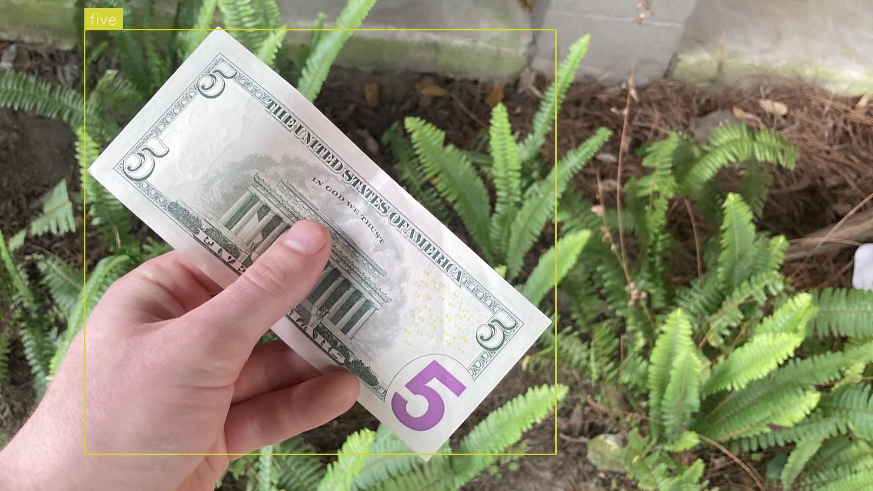
Money Detection
Locate, label and count common United States bills and coins in an image.
Locate, label and count fire hydrants in an image.
Use This Free TemplateTry Preview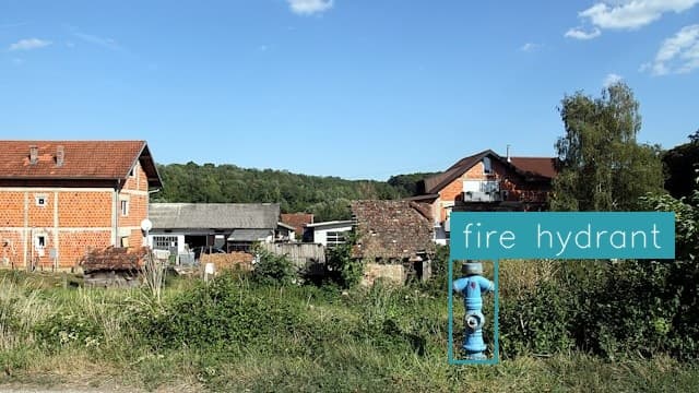
Rapidly scan urban environments and infrastructure maps to automatically detect, catalog, and geolocate every fire hydrant - ensuring critical emergency response assets are properly documented.
Try it now:
Every second counts when firefighters race to contain a blaze, yet outdated or inaccurate hydrant records continue putting lives at risk. Municipal departments and emergency response teams use this detection template to maintain precise, real-time hydrant inventories from street-level imagery and aerial photography. Beyond basic locations, the system identifies hydrant types, conditions, and accessibility factors - transforming sporadic manual surveys into a robust digital infrastructure database. Urban planners and insurance assessors also rely on this data to evaluate coverage zones and emergency readiness.
Modernizing hydrant management slashes inventory time from weeks to hours while eliminating human error. This template processes thousands of images to build comprehensive hydrant maps, complete with GPS coordinates, condition assessments, and maintenance histories. Emergency crews gain instant mobile access to hydrant locations through integration with dispatch systems. The continuous monitoring capability flags missing or damaged units before they're needed in an emergency, while automated counts help planners optimize hydrant placement across expanding urban zones. For cities transitioning to smart infrastructure, accurate hydrant data becomes a foundational element for emergency response optimization.