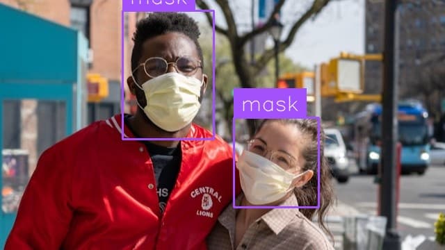
Object Detection
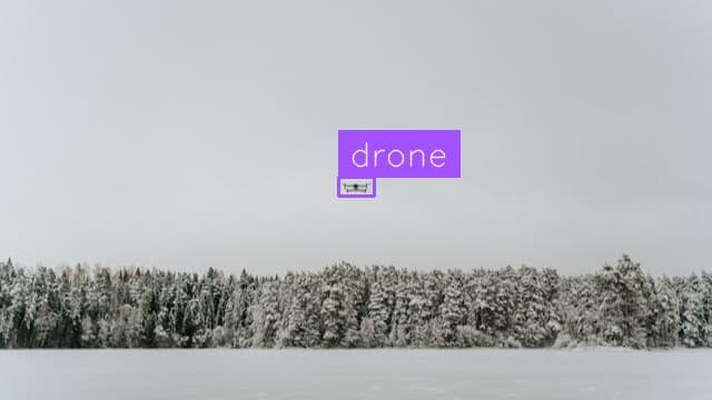
Drone Detection
Locate, label and count drones in an image.
Locate, label and count giraffes in an image.
Use This Free TemplateTry Preview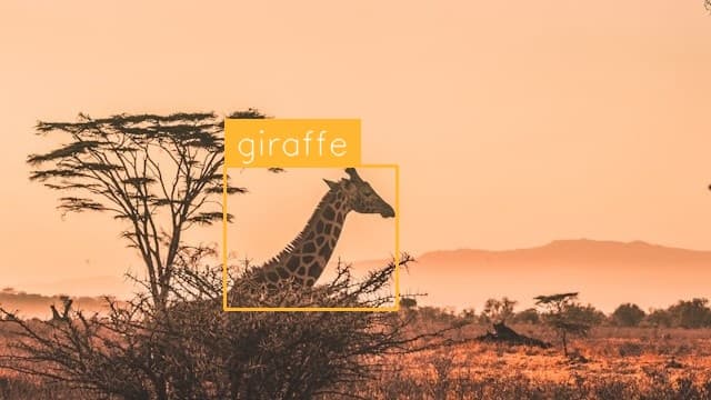
Instantly locate and track every giraffe in your wildlife imagery, delivering precise counts and positions of these majestic creatures with remarkable accuracy.
Try it now:
Conservation researchers trudging through thousands of aerial photos need rapid, reliable ways to monitor giraffe populations. This template transforms hours of manual counting into seconds of automated analysis, helping wildlife teams track migration patterns, assess population health, and identify areas needing enhanced protection. Safari operators and wildlife photographers also leverage this detection capability to enhance visitor experiences and capture perfect shots by quickly identifying giraffe locations across vast savanna landscapes.
Accuracy meets efficiency when tracking Earth's tallest land mammals. By detecting giraffes with over 95% precision, this template eliminates human counting errors while processing hundreds of images in minutes rather than days. Field researchers can now focus on analyzing population trends instead of spending countless hours manually scanning photos. The template's ability to work across varied lighting conditions and partially obscured subjects means reliable detection whether it's dawn, dusk, or high noon in the African savanna.