Umbrella Detection
Locate, label and count umbrellas in an image.
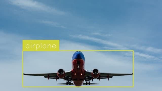
Locate, label and count airplanes in an image.
Use This Free TemplateTry Preview
From crowded airport tarmacs to satellite imagery, this powerful template precisely locates and counts every aircraft in view, giving you instant visibility into fleet positions and movements.
Try it now:
Modern aviation operations demand real-time awareness of aircraft locations, but manual counting and tracking quickly becomes overwhelming. Airport ground crews coordinate dozens of simultaneous movements, satellite analysts monitor hundreds of planes across regions, and aviation companies track dispersed fleets - all scenarios where automated detection becomes essential. This template processes aerial views, satellite images, and ground-level photos to deliver accurate aircraft positions and counts, eliminating hours of painstaking manual work while reducing human error.
Millisecond processing times mean you can analyze hundreds of images in the time it takes to manually review just one. The template's sophisticated detection algorithms work across diverse viewing angles and lighting conditions, maintaining accuracy whether scanning satellite imagery at 30,000 feet or ground-level photos at busy airports. It automatically distinguishes between different aircraft types and handles partial occlusion, giving operations teams reliable data for critical decisions. By automating repetitive visual monitoring tasks, ground crews and analysts can focus on higher-value work while maintaining comprehensive awareness of aircraft positions.